H&H Data Store
Hydraulics and hydrology data, ready for analysis.
High-quality urban drainage and flood risk datasets for any location nationwide, with unlimited access to the Ghana Hydro-Database archive.
-
River basin maps
Coastal rivers (Ayensu, Densu, Ochi Amissa, Ochi Nakwa, Tordzie, Aka) and south western rivers (Bia, Tano, Pra, Ankobra).
-
MMDA watershed maps
Drainage basin delineations and waterways for specific metropolitan, municipal and district assemblies.
-
Urban drainage channel maps
Flowpaths of urban channels from source to outfall, with tributary confluences.
-
Community flood inundation maps
Inundation extents over buildings, roads, parcels and critical infrastructure.
-
Flood hazard metrics
Depth, velocity and arrival time, baseline and future climate, for the metropolitan areas.
-
Drainage design parameters
Design peak discharges and runoff coefficients for sizing culverts, channels and bridges.
Delivered as
- GeoTIFF
- Shapefile
- GeoPDF
- NetCDF
- CSV
All datasets are QA/QC-checked and GIS-compatible, ready for engineering design, planning and risk assessment workflows.
Downloads
Map library.
River basins, MMDA watersheds, urban drainage channels and community flood exposure.
-
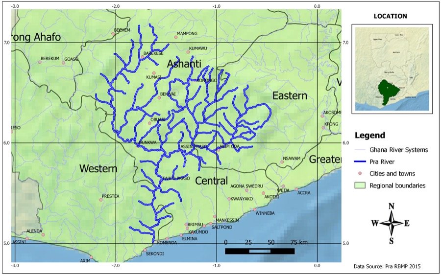 Pra
-
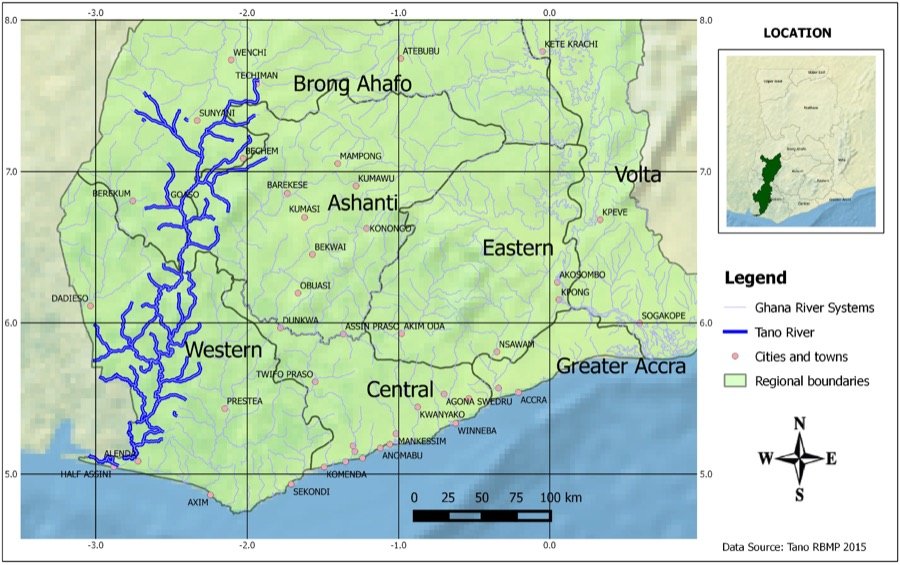 Tano
-
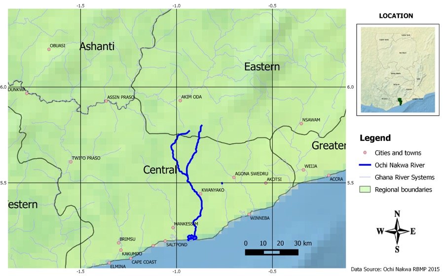 Ochi Nakwa
-
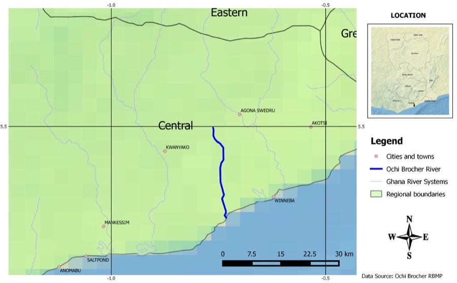 Ochi Brocher